
Pico del Águila to Albalat dels Tarongers
Point to point, and mostly down: start high above Gátova and descend across the park to Albalat dels Tarongers. You need a plan for getting back to the car.
- Distance
- 44 km
- Climb
- 785 m
- High point
- 868 m
- Shape
- Point to point
- Effort
- Hard
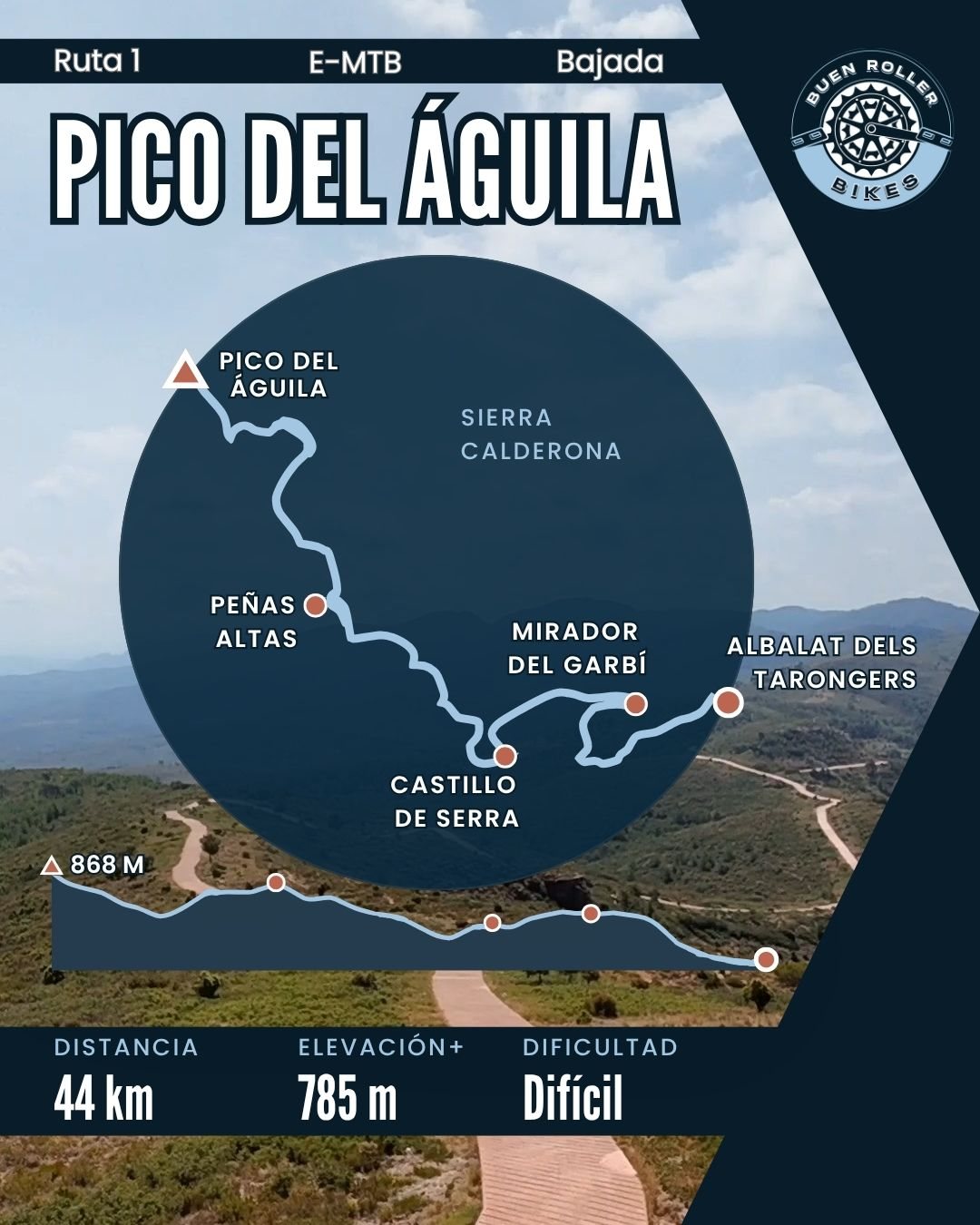
The route
Map data © OpenStreetMap contributors
Elevation
Where it starts
Pico del Águila, above Gátova
Along the way
- Pico del Águila
- Peñas Altas
- Castillo de Serra
- Mirador del Garbí
- Albalat dels Tarongers
Get the GPX
The file for this route goes out to the list, along with every new route as it is mapped.
Ride it with a guide
Guided rides restart once our Registro de Turismo registration is through. Join the list and you will hear the day it opens.